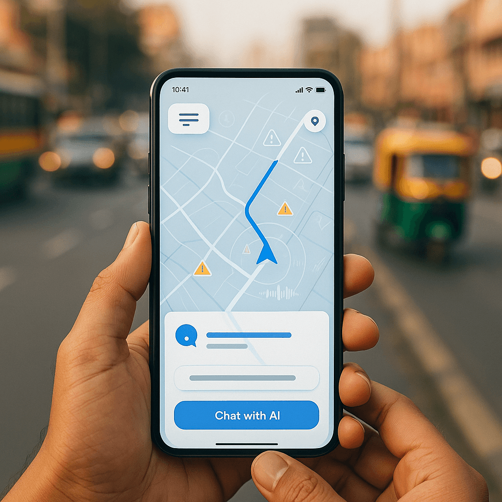
Google is rolling out Gemini AI integration to Maps in India, making it the second country after the U.S. to receive the hands-free AI assistant. The launch includes localized safety alerts for accident-prone roads and partnerships with Indian authorities to improve navigation reliability across the subcontinent's complex transportation network.
Google just made India the second country worldwide to receive Gemini AI integration in Maps, signaling the tech giant's commitment to its largest international market. The rollout comes just one day after Google launched Gemini in Maps across the U.S., showcasing the strategic importance of India's 1.4 billion potential users.
The AI assistant brings hands-free navigation help and contextual suggestions, but Google's India rollout goes far beyond a simple translation. "When we say localizing for India, it's not just the language," Miriam Daniel, vice president and head of Google Maps, explained during a virtual briefing. "It's also adapting to how Indians use the product, how Indians will talk, how they will ask for questions, how they will identify places, the geopolitical places, the street names - everything is sort of different in India."
This localization effort reflects the complex reality of navigating India's roads, where Google has faced scrutiny over navigation reliability. Last year, a car drove off an unfinished bridge in Uttar Pradesh after following Google Maps directions, killing three men and highlighting the life-or-death importance of accurate routing in developing infrastructure.
Google's response includes a new safety alert system that warns drivers about accident-prone stretches through visual and audio notifications. The company is working directly with local authorities to identify these danger zones, with the feature initially rolling out to Android users in Gurugram, Hyderabad's Cyberabad region, Chandigarh, and Faridabad.
"The real world conditions can keep changing, and it's very dynamic, and sometimes it changes in an instant. Maps can't be accurate 100% of the time," acknowledged Anal Ghosh, senior program manager for Google Maps. "So we would encourage users to ensure that they're keeping their eyes on the road."
To improve accuracy, Google has partnered with India's National Highways Authority (NHAI) for near real-time data on road closures, diversions, and repair work. This partnership also enables Maps to display wayside amenities like public restrooms, restaurants, and fuel stations along national highways - crucial information for long-distance travelers in India.


